As the Allagash Wilderness Waterway celebrates its 50th Anniversary (1966-2016) I decided to forego the annual St. John “guys” trip and instead, accompanied only by my lovely girlfriend Sarah, set out to paddle the Allagash in its entirety. The AWW consists of the Allagash river and several lakes it swells into. The state owns approximately 500 feet of buffer on either side of the waterway designed to keep this a true wilderness area. Long gone are the logging operations (although you can still find some of their abandoned camps along the way) that once setup camp on the river and no new construction of roads or buildings are allowed in the area.
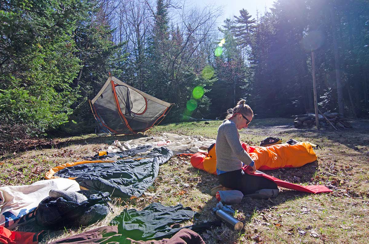
By my way of thinking; despite the potential for some cold nights, May is the time to paddle the Allagash. No black flies, no mosquitos, no people, plenty of water and plenty of Brook Trout. So on May 14th, we set off from the bridge at the thoroughfare between Telos and Chamberlain lakes for no more, and hopefully no less, than nine days on the water. As the May canoe trip is traditionally a “research and development” trip, we had to bring a fresh pair of paddles. This year Sarah has nice new 54” Penobscot that someone made her for Christmas. I chose to paddle one of our new Allagash paddles that I spent a little extra time thinning down for a nice quiet recovery stroke. It was just about perfect, except for the character it found on a rock in Chase Rapids. Oh well.
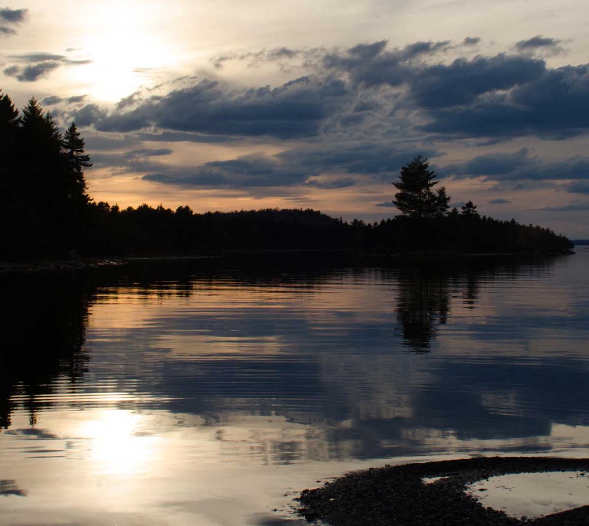
Sunset over Chamberlain Lake
The biggest risk on the AWW is paddling the big lakes in lots of wind, and we certainly found some wind fighting us all the way up Chamberlain Lake. Day II and III were spent wandering the woods around Locke Dam, as we were stranded awaiting a break in the wind and cold temp...luckily the snow didn’t pile up too deep.
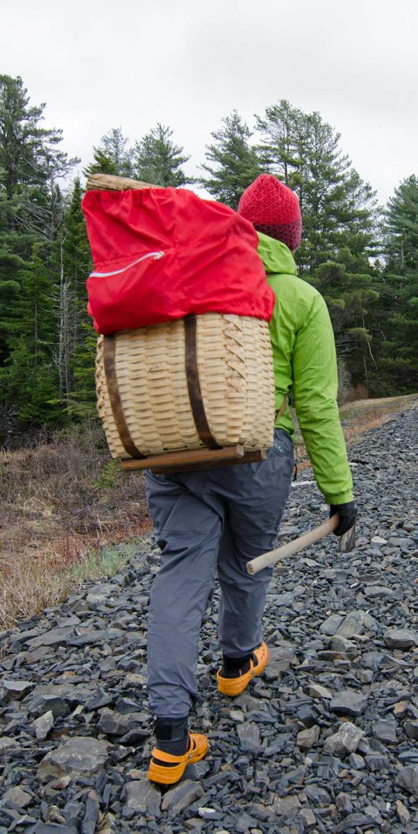
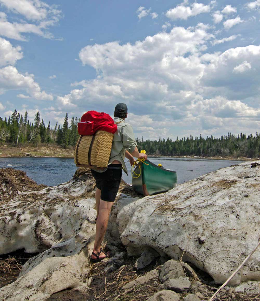
Collecting Firewood with a Traditional Packbasket
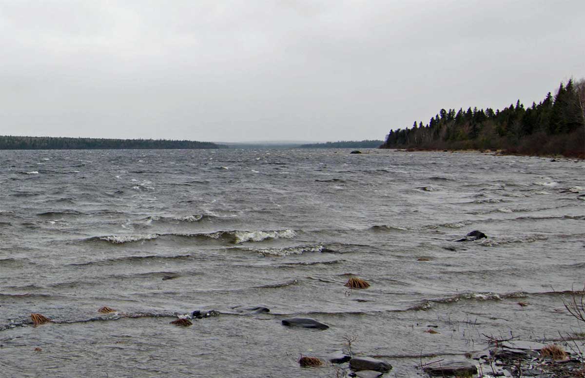
Big Winds in May = Freezing Spray at Locke Dam
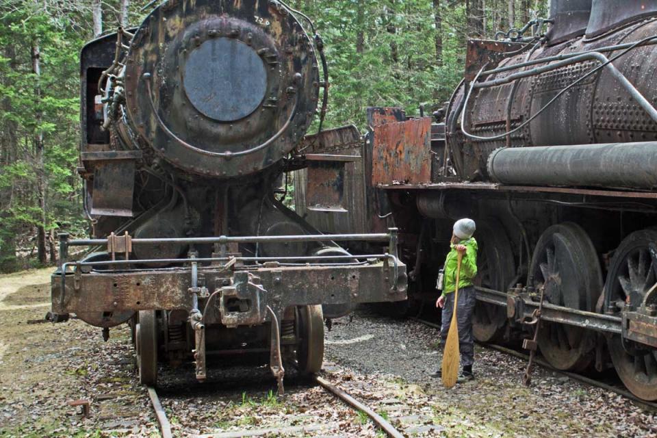
The strong winds on day IV persisted throughout the morning finally pushing us into the Tramway on Eagle Lake. We had hoped to see the abandoned trains of the Eagle Lake and West Branch Railroad anyway, and used it as an excuse to let the winds die enough for the paddle across the lake to the Little Eagle campsite. The trains ran for a short time during the late 1920’s to 1930 when they were parked, basically, where they sit now.
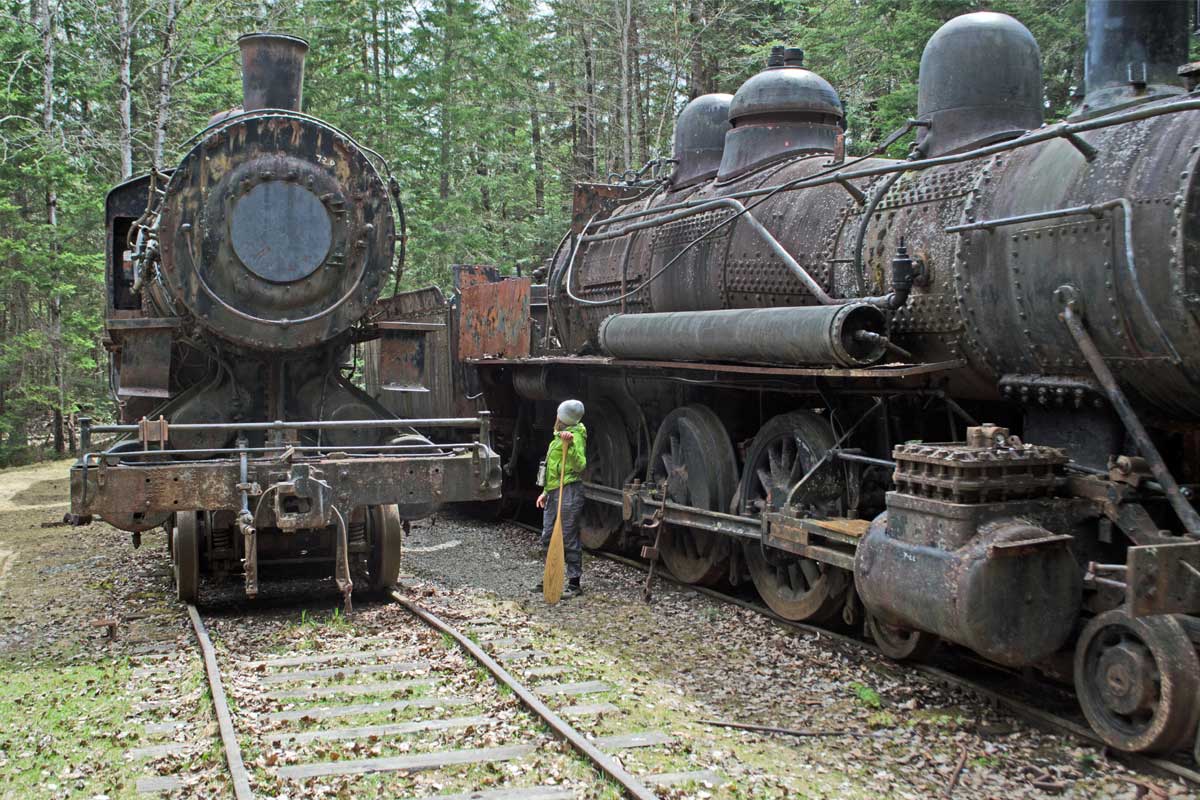
The Trains!
On day V the sun came out and stayed out. We lingered at the campsite drying our wet things and eating a large relaxed breakfast. Today would be the day we paddle Chase Rapids, and get into Umzaskis Lake. Distracted by the sun however, we spent too much time getting back on the water, and by the time we arrived at the Churchill Dam, they had cut back the flow. Not even close to enough water to get my freighted Tripper through the notoriously “boney” Chase Rapids. We made the best of it and fished the pools below the dam.
Finally No Rain and No Wind!
The morning of Day VI we painted many rocks in our frantic scramble through the rapids. The weather called for severe thunder storms and we hoped to have our tarp set up on Cunliffe Island in time to have mug of wine and watch the storm.
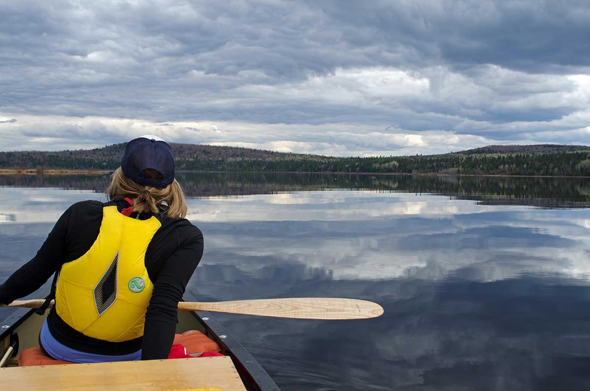
Sarah and Her One of a Kind Fiddleback Ash Penobscot Paddle on Umsaskis Lake
Day VII was a long day on the water. We had about 20 miles to cover, lots of good fishing spots, and the fiddleheads were finally poking through the grasses. This made for a classic Maine dinner at Cunliffe depot.
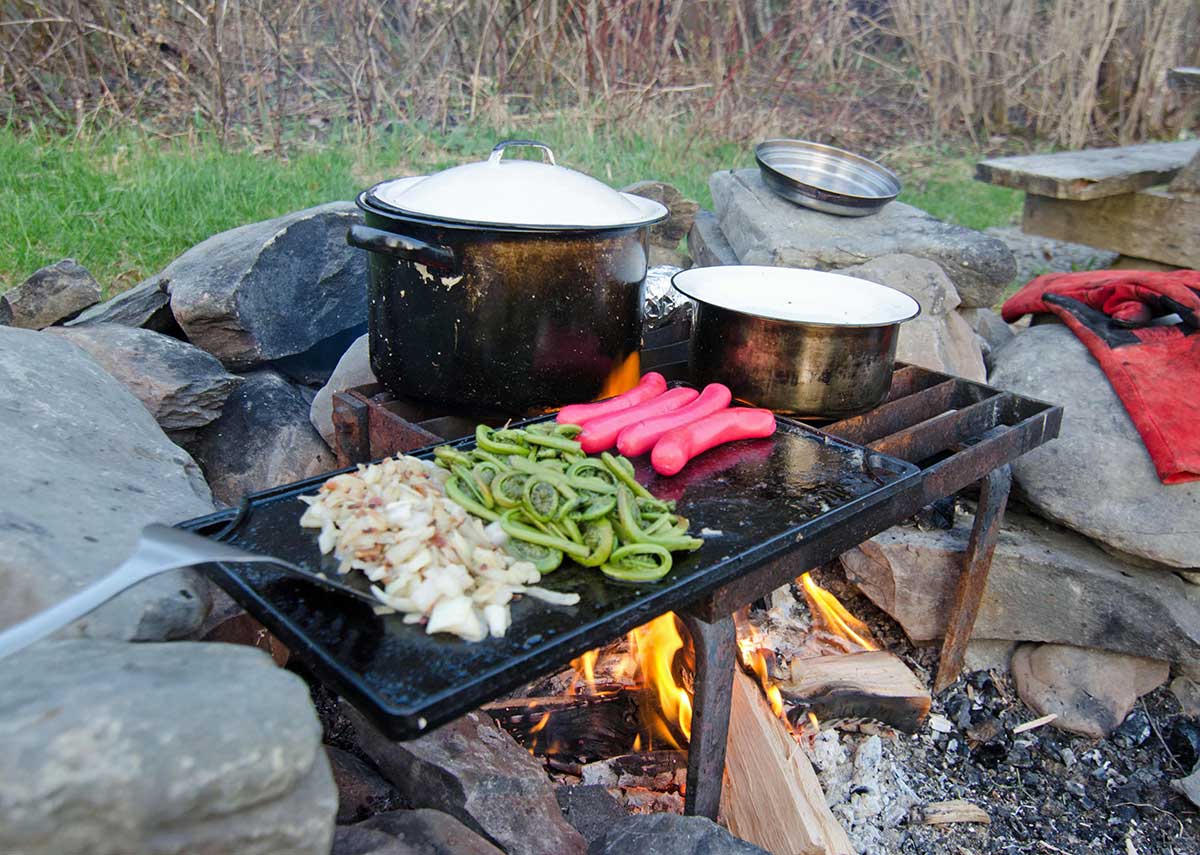
Fresh Maine Fiddleheads on the Grill
On the morning of day eight we checked in at Michaud Farm ranger station before heading to our portage at Allagash Falls. It was nice day for the portage except for the snow below the falls…though it does make it easy to push a canoe along. Our last night was spent at the Big Brook East campsite. Nice spot for a sunset and perfect way to end our trip on the Allagash.
That’s Snow not Boulders!
We were up and packed early on day nine to catch breakfast at the Two Rivers Diner. Best breakfast in Maine.
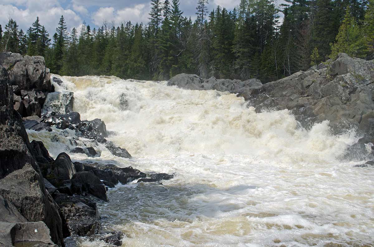
Allagash Falls…Mandatory Portage
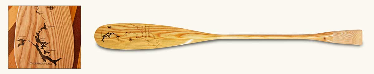
Check out the Allagash River Series Signature Paddle
We made the Allagash Signature Paddle to celebrate the Allagash Waterway’s 50th Anniversary. It's the first of our upcoming River Series paddles. The Allagash features an intricate map of the waterway hand-drawn by Shaw & Tenney's own Sam Martinelli, engraved on the blade.